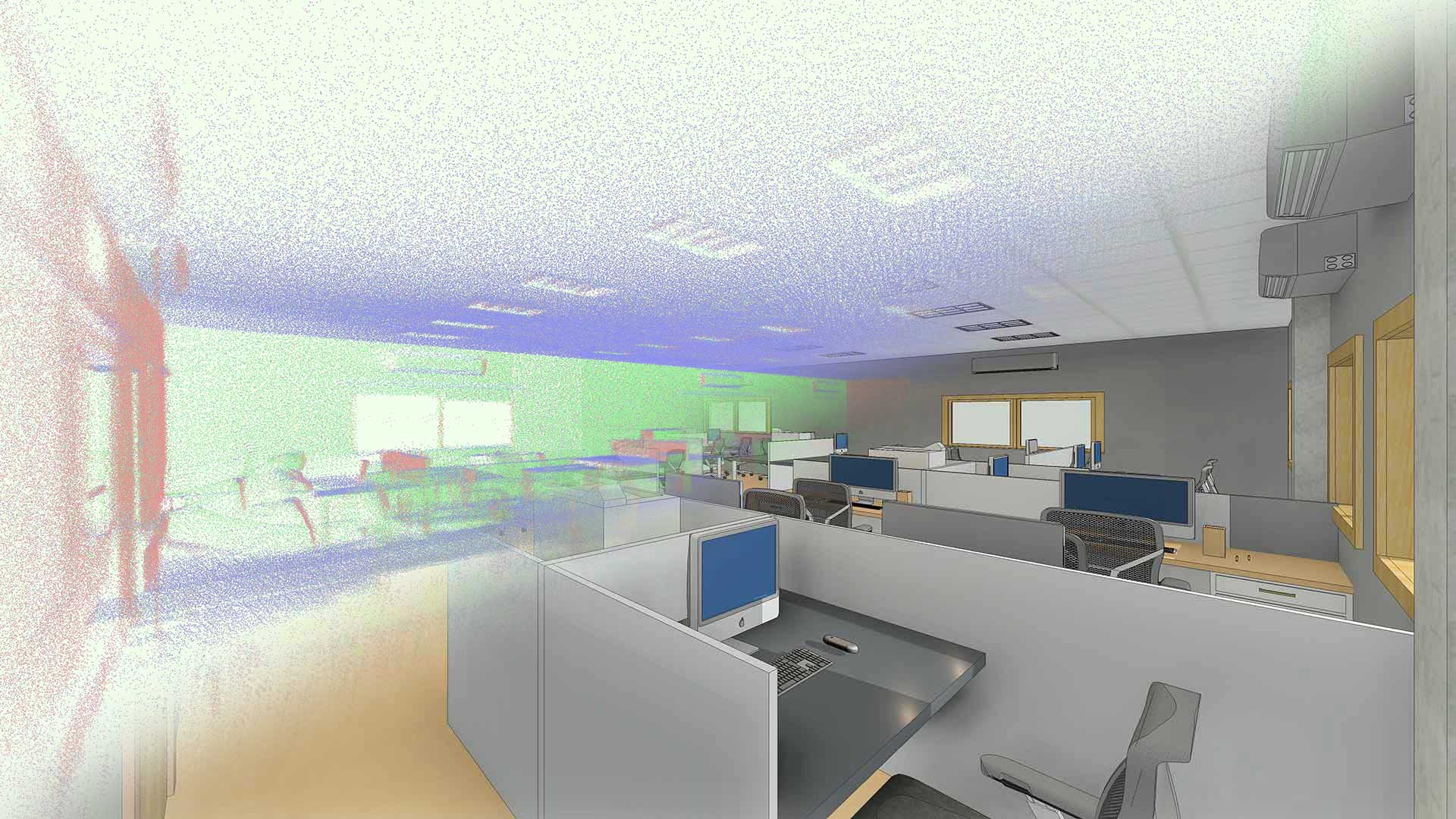
Point cloud is a set of data points in a 3D coordinate system representing external surface of an object or a structure including the geometry and color. 3D scanners are used to measure the point cloud data and covert them to parametric models using REVIT.
Utilizing point cloud data as a basis, Verve can provide a tailored product to suit your particular need. We can deliver as-built surveys for a range of applications like Urban Planning, Topo-surface, Construction, Power Stations, Oil and Gas Installations, heritage buildings, etc.
Verve offers solutions to your unique requirements, using Laser scanning technology to 3D Modelling and/or 2D CAD drawings as an end to end Solution & Service provider. Advantages of Laser scanning and Point Cloud data modelling include Cost and Schedule reduction, Quantity Take-off, Reduction of rework, Risk minimization, Easier to interpret 3D model, Increased safety and Documentation of old buildings without blueprints.