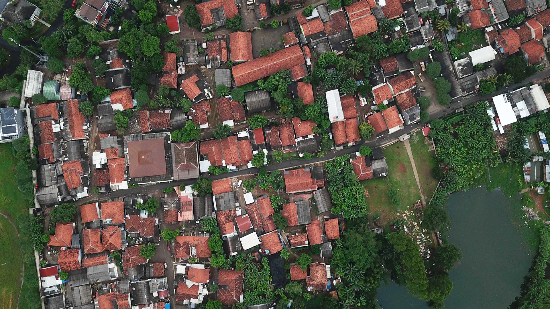
Our GIS services include Creation of 2D & 3D Data capture solutions using Laser scans, Aerial mapping solutions, Geo-spatial solutions for Virtual and As-Is models and BIM & GIS Integration for Infrastructure (Surface & Subsurface) and buildings.
The success of GIS depends on the quality of the geospatial data obtained from scanning equipment. GIS Modeling and Mapping requires a thorough understanding of the data models and ways to manipulate the data to obtain the required results. Verve is a one point solution provider for your surveying and modeling needs.